
ISBN-13: 9781885010254
Spiral-bound
192 Pages
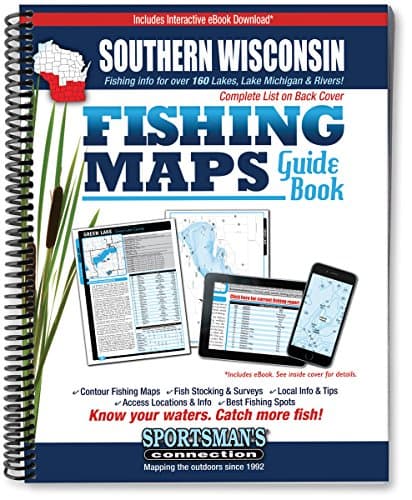
Southern Wisconsin Fishing Map Guide
by Sportsman's Connection
Availability Unavailable
This book is not currently available for rent or purchase.
Product Details
ISBN-139781885010254
ISBN-101885010257
PublisherSportsman's Connection
Published2016-06-01
EditionRevised
LanguageEnglish
FormatSpiral-bound
Pages192
About This Book
The newly updated Southern Wisconsin Fishing Map Guide is a thorough, easy-to-use collection of detailed contour lake maps, fish stocking and survey data, and the best fishing spots and tips from area experts.
Fishing maps, detailed area road maps and exhaustive fishing information are provided in this handy, 224-page, 8 ½ x 11 spiral-bound volume.
Milwaukee, Madison and La Crosse area anglers, this one's for you! Lake maps and fishing information for 170 lakes in southern Wisconsin, with Lake Michigan shoreline and extended Mississippi River coverage.
30 Counties are covered in this volume: Buffalo, Columbia, Crawford, Dane, Dodge, Fond du Lac, Grant, Green, Green Lake, Iowa, Jackson, Jefferson, Kenosha, La Crosse, Lafayette, Marquette, Milwaukee, Monroe, Ozaukee, Pepin, Racine, Richland, Rock, Sauk, Sheboygan, Trempealeau, Vernon, Walworth, Washington and Waukesha.
Whether you re fishing the Mississippi River for catfish, the Madison Chain for muskies or Big Green for lakers, you'll find all the information you need to enjoy a successful day out on the water on one of Wisconsin s many excellent fisheries.
Know your waters. Catch more fish with the Southern Wisconsin Fishing Map Guide.